Thursday, 28 July 2011

Disc golf at Quilchina Park a rough experience

Tee off

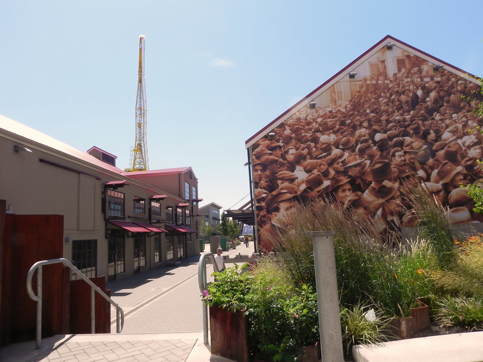
Hard core disc golfers

In my blog post "Queen Elizabeth Park wears the crown of accessibility", I wrote about the pleasure I had in meeting a group of disc golfers who are every bit as compulsive and serious as their ballsy cousins. The game is similar to golf and has a strict set of rules and code of conduct governed by the Disc Golf Association. My new friends were very accommodating and even gave me what I would need to get started: a driving and putting disc. The putter resembles a frisbee and floats as you throw. The driver is more like an Olympic discus built for distance. There are several other disc types permitted for play: left flyers, right flyers, tree dislodgers, rollers and more. Queen Elizabeth course is long, hilly, has water hazards and lacks pathways around the course.


My new buds suggested I try the Quilchina Park course as it was a shorter 9 basket (played as 18) with a perimeter path making for less travel over grass. So this week, inspired by the PGA Canadian Open event at the nearby Shaughnessy Golf and Country Club, I headed out to this west side city park to partake in a game of cheaper and less formal disc golf.  The views from Arbutus Ridge are stunning and you can see out to English Bay and beyond. Strict zoning laws in the prestigious Shaughnessy, Quilchina, Arbutus and Point Grey neighborhoods have preserved the view not as a corridor but as a complete panorama.

Quilchina is a First Nations word loosely translated as "many waters".  Originally a marsh area, even though it sits high above sea level, the land was home to the Squamish Nation but was given to the Canadian Pacific Railway by the Canadian Parliament as part of a 2,100 hectare parcel in 1888. The CPR used some of the land to develop the inter urban rail line, completed in 1905, to connect what is now Vancouver with Steveston. The rail line had stops higher up the Dunbar ridge in Quilchina at what is now West 37 Ave and West 41 Ave and ended in the Dunbar community.  The neighborhood was originally part of the municipality of South Vancouver when the inter urban line was completed in 1906. At that time only a few rich railroad brass lived in the area. Quilchina joined Vancouver in 1912 . The  area boomed until the Great Depression of the 1930s. In the 1950s the city used sand from the dredging of False Creek to fill in the boggy areas of Quilchena in order to build housing and schools for the post war baby boom. This plan also resulted in the end of the inter urban railroad line when it was replaced with trolley buses.

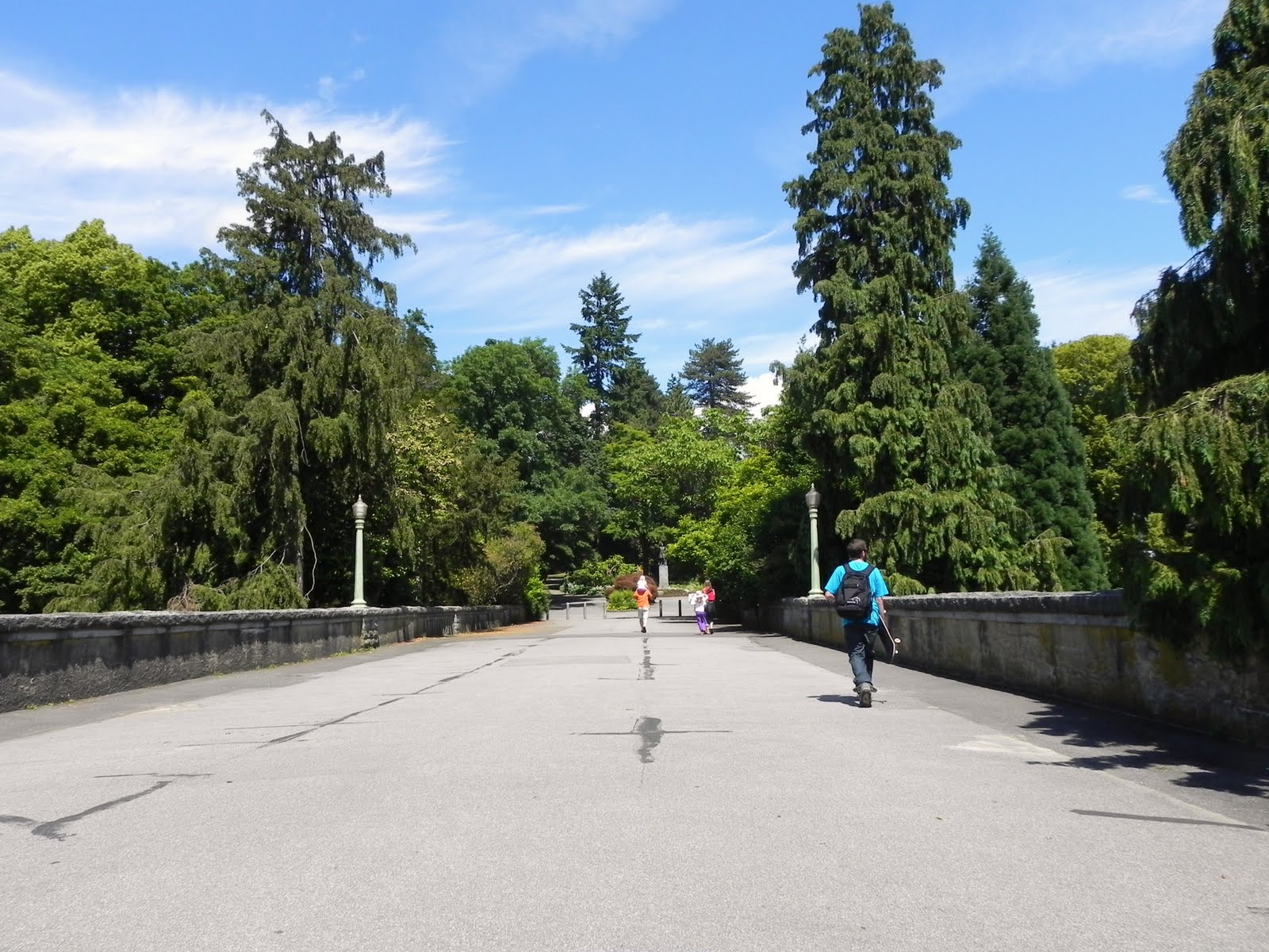
The neighborhood's main arteries are very accessible, but the side streets are not.  Curb cuts are patchy causing frequent long turn arounds, and cross ways across busy streets have nothing in the way of assistance.  I took the bus but I do not recommend bus travel to this location. Stops along the #33 and  # 25 buses leave a long scary trip to get to the park's one accessible entrance at North Valley Drive and West 33rd Ave. There is no parking lot and you must try your luck with side street parking.  However, the entrance does have a crosswalk and curb cuts.


You want to be in fairly limber condition before you tackle this park. It has a skateboard parkl, baseball and soccer fields, and a playground that is as inaccessible as the rest of it. The washrooms are marked accessible but by universal standards they are not as they have cramped space and very tight turns.

This off leash park is better left to the dogs
As my disc golf friends had promised, I did find the golf course and accessible perimeter path. But the day went to a complete waste thanks to the new City of Vancouver initiative to cut back on lawn care. This new practice is a hazard to the mobility and visually impaired. Dangerous dips and stumps, etc make any field a mine field. Even for my 4 wheel chair the grass proved challenging.

Hidden treasures from dogs and worse

I plan to raise this issue at the city's next Disability Advisory Committee meeting in September and will keep you posted. As far as disc golf is concerned, I hope to get back to it and will try other courses in the future. For a list of courses and to learn about the rules and how to organize tournaments, etc go to www.bcdss.bc.ca.

For information on the park or to contact the Parks Board and complain go to www.vancouver.ca/parks.

Tuesday, 26 July 2011

North shore's Lower Lonsdale area is flat out fun

A montage of the 20.000 workers during WW2 who built 53%
of our wartime cargo ships
Making the north shore accessible is an up hill or, up mountain actually, battle. The steep inclines that start at sea level and rise to 1,231 metres at the tip of Grouse Mountain can be difficult to impossible for the mobility challenged. Some areas are very accessible and some are not.  AccesssEco Bc will visit several areas including the top of Grouse Mountain over time. On my last visit to North Vancouver I checked out the Lonsdale Quay (see post "Going north - shore that is, swimmin' pools, movie stars").  This visit is to the Waterfront Area to the east and west of the market.  As most of this area is at or near sea level, the flatter area is ideal for the mobility challenged. The Lower Lonsdale area on the whole offers great cross ways with auditory features, excellent curb cuts, and ramp access from the Esplanade to the Quay roof and on to the market and hotel.  My preferred method of travel to this central location on the north shore continues to be sea bus http://www.translink.ca/

Lots of places to sip a latte

On Saturdays there are a couple of farmers markets in the area
Rolling past the market I head east to the revamped and still to be completed historic shipyard district at the base of  Londsdale Ave. Although not yet finished, it is already one of my favorite spots in the lower mainland. This area is a showcase of the fascinating history surrounding what was North Vancouver's second largest industry: ship building. The Wallace ship yard was originally west of these grounds further up the Burrard Inlet. However, in 1906, soon after the City of North Vancouver acquired electricity, the shipyard moved to the foot of Lonsdale. You can take a riveting 45 minute tour of the area for free. The tour is wheelchair accessible and can accommodate groups. For information go to www.northvanmuseum.ca/program4.htm.
The grounds are very accessible

From the 700 ft Burrard dry dock pier looking toward North Van

Ship building continues today
I can't wait to see what the completed historic shipyard district will look like when it's completed.  Use the Pinnacle Hotel's accessible washrooms and elevators to Esplanade. I noticed the installation of a new and modern accessible elevator almost completed on east side park exit. Hopefully when it's finished the site will include cross ways, marked pedestrian paths, and way finding with even more tactile clues for the visually impaired.

The east exit elevator looks nearly complete
If you head to the west side of the market, you will come across Waterfront Park. This 2.5 hectare park is divided by railway track and thus has a south side on the water front and a north side entering off Esplanade. In the park you can choose to use the street or a pedestrian overpass to get to each section. The north side is more of a field used for many community events including Caribbean Days.


The south side is the seawall section and where you will find great vistas of Vancouver's city scape, accessible washrooms, the Mariners Memorial, the Trans Canada Trail Aboriginal theme pavilion, and BCIT's waterfront campus.

Park pier looking to Vancouver
Mariner's Memorial for those lost at sea

Trans Canada Trail Aboriginal theme pavilion
BCIT docks
The park has a children's play area which is not very accessible. It does have good cement paths in the south side as well as along the sea wall. The south side is where you will find accessible washrooms and lots of places to sit.

Just beyond the BCIT campus at the park's far west exit is the Spirit Trail. I was aware of this section of pathway on the south tip of the Squamish Nation Reserve, but I bumped into a friend on the trail who told me eventually the path will offer an uninterrupted route to Horseshoe Bay. He has also told me that he has tried most of the sections that are open and they are great for his wheelchair.

Thanks for the tip
The Spirit Trail entrance just beyond the BCIT campus
For more information on Waterfront Park , North Vancouver and the Spirit Trail go to http://www.cnv.org/

Thursday, 21 July 2011

Jericho Beach and the field of dreams - Part 2

                                                             THE FIELD IS HILLY
THE FIELD IS GRASSY
USUALLY IT'S DUSTY
THIS YEAR WAS MUDDY
BUT THERE'S A COMMITTEE
THAT'S THERE TO HELP ME
THEY KNOW THIS LAND IS MADE FOR YOU AND ME.
SUNG TO THE TUNE OF THIS LAND IS YOUR LAND THIS LAND IS MY LAND


The last blog post was a look at the perimeter paths around the large grass field, marsh land and beach in Jericho Beach Park. This post looks at the inner field which is usually very inaccessible. That's why I refer to it  as the field of dreams. In mid July each year tens of thousands of people flock to the Vancouver Folk Music Festival, among them hundreds of us using wheelchairs, canes, walkers, service animals, attendants, and the like. Add in another 1500+ volunteers, hundreds of musicians, sound crews , and merchants, and just for fun  this year stir in what seemed like endless litres of rainwater. How do you make what in any other situation would most assuredly be a disaster for PWDs to, as one patron put it, "the most accessible event of the year"?  Since it's a folk festival how else but by committee. I had the pleasure of joining the committee this year in making the festival barrier free.
Well marked viewing areas

The Universal Access Committee has been a part of the folk festival for a long time. It was formerly the disabled access committee, and this year's name change reflects the committee's wish that one day accessibility will be such a part of our culture that the committee will no longer need to exist. It's safe to say the committee will be around for awhile yet. Some people in the core group have been doing this for as for as long as 15 years.
Nomadic caravan
This experienced group thinks of everything: drop off areas, disability parking, attendant fee policy, a policy of self identifying as a PWD, wheelchair and umbrella loans, Braille and large print programs, a tent with a privacy room, well marked viewing areas, assistants to wheel you from stage to stage or provide your attendant with a break, a place to recharge your wheelchair, lots of way finding maps, and plenty of accessible washrooms. At the end of the day they have people to assist you on to public transit and they influenced transit to add more buses during these peak times. Not content to rest on their laurels, the committee's brain trust was surveying attendees this year and welcomed all suggestions.
Shade and rain tents
Excuse me! Coming through! Pardon me! None of these are necessary thanks
to the work of committee volunteers.
The universal access committee is involved in all areas of the festival

To paraphrase Joni Mitchell, when you get a large group of people in one place, some people behave like folks and some people behave like tourists. The folks know who they are but the tourists have no idea. In this case the folks respected the viewing area access, and accessible washrooms. The tourists not so much . But the dedicated volunteers of the universal access committee were there to convert tourists to folks with polite reminders and information on why it is necessary to respect access areas. On one of my shifts I was guarding the washrooms and an able bodied fellow, after listening to my shift partner's patient explanations on how not to be a tourist (I am sure she was more polite than that) decided he was going to use the accessible was"hroom anyway.  I yelled "bad karma"!, and he looked as surprised to hear it as I was to say it. What?" he asked.  Bad karma I repeated. He must have been a real "My Name is Earl" fan because it stopped him.  He mumbled something as he walked off.  Later in the shift I found a water canteen on the ground. Thinking nothing of it, I put it aside to add to the lost and found. Not long after the same guy came back this time searching the ground as he walked. "Looking for a water bottle?" I asked.  "Yes," he said. Grinning I handed it to him and said "good karma".  He nodded, thanked me and went on his way.
A folk market along the beach

I would love to work with this group again next year. The volunteers and committee heads are a great group of people. If that's not enough they also feed you, give you a weekend all access pass, a program and a party.  For more information on the festival, including where you can sign up to volunteer for the 35th year, or to recieve updates and more information go to www.thefestival.bc.ca.

If you want information on Jericho Beach be sure to look at Part 1 of this post and to www.vancouverparks.ca.
See you at the festival next year


Wednesday, 20 July 2011

Jericho Beach Park and the field of dreams - Part 1

View from the marsh
This week AccessEcoBC is doing a two part blog on Vancouver's west side Jericho Beach Park. Part 1 concerns Jericho as it is 362 days a year, and Part 2 provides an inside look at Jericho for three days in July during the Vancouver Folk Festival.

Originally the Coast Salish Nation village of Ee'yullmough, Jericho Beach was renamed Jerry's Cove in the 1860s after it was settled as a logging camp run by Jeremiah Rogers. Over time, the vernacular was shortened to Jericho. The area was used as a seaplane base during WW2 and was turned over to the Vancouver parks department in the 1970s. This 47 hectare park is kept fairly natural; however, it offers many amenities, including some fantastic accessible features and other areas which are very inaccessible.

The oldest building in Vancouver in neighboring Hastings Mill Park

This West Point Grey neighbourhood needs to catch up to the downtown core as far as curb cuts, accessible crossways and sidewalks.are concerned. What's worse is that this area is home to Steeves Manor, a large comunity of seniors and people with disabiliites. The residents deserve better and safer community access. A Translink supervisor pointed out that the stops on the south side of West 4th Ave near the park entrance are not technically marked as accessible stops. This puts stopping and loading or unloading with use of the ramp up to driver discretion. The stops on the north side of West 4th Ave closest to the park entrance are designated accessible, so you are not left to the whims of a driver until you want to go the other way towards downtown Vancouver. If  you take transit, use the trip planner at http://www.translink.ca/  On the site you can learn how to register for the HandyDart/Taxi Saver Program.  HandyDarts are not handy and they don't dart, so taxi your way. Paid accessible parking can be found at the northeast side of the park along West Point Grey Road and the far west side accessed off Discovery Street. 
The pier on Jericho Beach Park's west side is fairly accessible
Bunnies and squatters

The beach is accessible thanks to one of two city beach wheelchairs

If you want to birdwatch and commune with nature, check out the marsh area. It is best accessed from the park entrance along West 4th Ave. At the park's south entrance follow the hard gravel-packed road west to the bridge. The park needs improvements to way finding and trail information. The basic trail around the marsh is passable for mobility purposes but expect the need for power to traverse trails of dirt, grass, and cement. If you choose to skip the marsh tour, keep following the road after the bridge and commune with squatters and bunnies on your way towards the wharf. The wharf area is a section of Jericho that is technically part of the seawall system, although it is more road than wall.  It follows the beach and runs east to west. The wharf section at the west end of the park has been condemned but a redesign is in the works. The City of Vancouver's Disability Advisory Committee has requested water acccess to the high tide marks and will continue to lobby for better access throughout Jericho Beach Park and the West Point Grey area.

The west side of the park is where you will find the Jericho Community Sailing Centre, home of the Disability Sailing Association. This is a great way to get out on English Bay. Some craft even have sip and puff navigation and sail adjusting capabilities. For details go to http://www.disabledsailingbc.org/The west side is also where you will find the Jericho Youth Hostel, which is definitely not wheelchair accessible. If you can handle stairs it's a cheap, clean place to stay.  For information go to www.hihostels.ca/westerncanada/168/HI-Vancouver_Jericho_Beach.hostel.

Also on the west side are playing fields and a new multi-purpose field  featuring artificial turf which is very accessible. The older ball diamonds are not as accommodating. One of the two park washrooms located in front of the hotel is accessible.


On the northeast side of the park you will find the other accessible washroom along with a food concesion, lifeguard station, change area and outdoor shower. You can also ask the lifegaurd to use one of two of the City of Vancouver's beach wheelchairs.  (See post "The pieces are in place so check it out mate.")


I have left a huge gap in my report: the large field surrounded by all the perimeter paths described above.  The field is all grassy and hilly with dips, valleys and bumps galore. Once a year hundreds of people requirng mobility aids visit this field to attend the Vancouver International Folk Festival. Making this accessible field of dreams possible is the folk fest's Universal Access Committee.  The committee is part of the festival's large group of over 1500 volunteers who help make the festival a fantastic must-do event. More on that next time.


Saturday, 16 July 2011

Coal Harbour is no diamond in the rough

Lots of ways to travel 
I like to roll along this wide flat picturesque section of seawall
The Coal Harbour section of seawall actually serves as part of Trans Canada Trail. The 2.5 km trip connects Canada Place and Jack Poole Plaza (see post "The ups and downs of Jack Poole Plaza") and Stanley Park's Brockton Point travelling west along the large and extensive Burrard Inlet.  It's a 10 km trip to follow the seawall from Harbour Green Park all the way around Stanley Park to English Bay. Along the way there are float planes, celebrities, wildlife, weird life, art, ships of all kinds, shops of all kinds, eateries for every taste and budget, and a real mix of people that only a world class destination can combine. A step off the seawall into nearby accessible neighborhoods can save a lot of money eatery wise.

Children's water park
The parks along this path could use this statue titled the King and Queen
as an accessibility symbol

Sit along the floating dock and rock with the water

You can begin your trip at the foot of the stairs leading from Jack Poole Plaza to the entrance of Harbour Green Park. To get to the foot of the stairs take the elevator from the plaza, get out at the parking garage, travel past the motor scooter rental and training area, keep your head up and eyes open for those zooming vespas, go past Harbour Air terminal and take a left.It, a little dodgey but good news is on the way.  The new air terminal on the west side of the convention centre is almost complete and includes fantastic seawall access with new large elevators. No word yet on the audio features.
Tuck away into portal park just east of Coal Harbour Park situated above the Coal Harbour Community Centre

Say hi to the Buddhas
As you continue along Coal Harbour Park the seawall gets a little narrow for the amount of traffic it must accommodate because your are on your way to Vancouver's biggest attraction: Stanley Park. See post "Vancouver's crown jewel does not sparkle as brightly for PWDs". I was a little rough on Stanley Park in the macroscopic overview in that post, but over time we will visit different sections of the park, some of which will receive high marks. Because of the seawall foot and cycle traffic, it's better to enter the park off the seawall on the road less traveled, so  leave the seawall just after Devonian Harbour Park at the entrance to Stanley Park. The paths are well marked with maps, trail type and grade indicated. Head over the bridge at the old main road entrance moving north (towards the mountains). At the aquarium, turn east and the trail will take you to Brockton Point.  Although the trail turns from pavement to dirt, the surface is good even in the rain.


Dirt road trail
The reason Access Eco went to Brockton Point this time was to attend Vancouver's 125th birthday party (see post "The party's on, it's festival season). The city staff and the 125 committee did a fantastic job making this grassy field area more accessible. Lots of washrooms, raised marked viewing platforms, and mobi mats in areas to assist the trip over grass, and lots of willing volunteers made this three day bash a hoot.


Built in 1891, Brockton Oval was one of the original features in Stanley Park. Originally called the athletic field, it was home to ten different sporting groups. Today it's used for track and field, lawn bowling, and cricket. The field house has just undergone extensive renovations and is now very accessible.


Other attractions at the point/oval are the totem poles, a park attraction since 1920's, the Coast Salish gateway, installed in 2008, and the nine o'clock gun, installed in 1894.  The gun was an important piece of nautical equipment used by mariners to set their chronometers. Today the traditional firing of the cannon at 9:00 pm continues 365 days a year.  The point/oval features fantastic views of the Burrard Inlet, and the North Shore Mountains.  For more information on the parks and Coal Harbour Community Centre go to www.vancouver.ca/parks  If you want to know more about the Trans Canada Trail go to http://www.tctrail.ca/.